Position Report and other info UTC +12 Hrs (Auckland time)
Cut and paste the GPS location below into Google earth, you can place mark this position and follow our Progress. Should this page not be updating then updates may be occurring via Satellite phone on a text file
Wednesday, 13 July 2016, 1600 Hrs
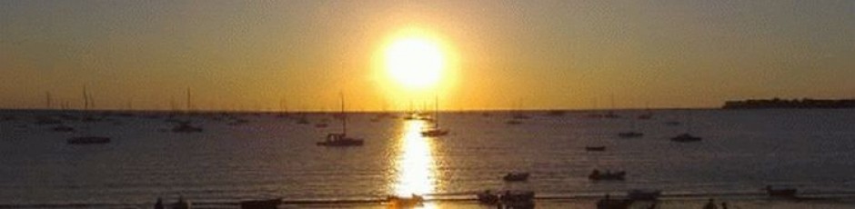
36 48.6 S, 174 38.9 West Park Marina, Auckland NZ We are here, thank you to
all on board and back home for your help.
Tuesday, 12 July 2016, 1000 Hrs
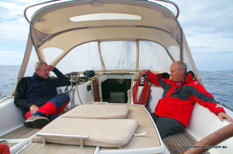
Ready for the last leg from Opua to Auckland in the next few minutes. Down to 3
of us now as Phil and Peter bailed due to time restrictions. The Southerlies are
predicted to die off today and start moving East then to the North over the next
day or so. Expecting to arrive in Auckland at lunch time Wednesday. Will update
tomorrow and again some time after arrival.
Saturday, 9 July 2016, 0800 Hrs
35 18.8 S, 174 07.3 E, Opua Marina New Zealand. Well done all crew both on board and a big thank you to Duane the weatherman back on shore. Sorry for the late update as spent the whole Saturday looking for an internet connection after device failure. Will be updating the log summary with photo’s etc throughout Monday.
Friday, 8 July 2016, 1030 Hrs
34 22 S, 172 41 E, Yea Ha, 4 Nm due North of Cape Reinga. Currently a light Easterly slowing our motoring down to 4 Kts. After the low passed the wind started falling away to nothing overnight as Duane predicted. Hopefully he is wrong this time but doubt it when on the last forecast strong Southerlies / Easterlies are heading our way. Looks like we will need to change plans and clear customs at Opua and wait for improvement before completing the final leg.

Thursday, 7 July 2016, 1200 Hrs
Having difficulty sending and receiving Sat phn messages due to the heavy cloud cover. Will try again next break in the sky
1030 Hrs
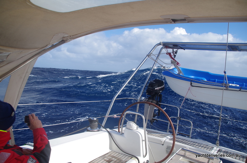
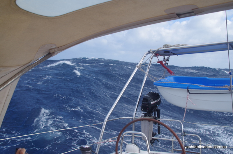
34 23 S, 170 23 E, Still 120 Nm to the first Cape. It’s been a long night and looks like a long day ahead. Winds were up 30-40 Kts overnight and calmed a bit to 20-30 Kts this morning as the centre of the low reached us. Hopefully it will move away from us quicker than it approached. Talk about pissing down. DONT EVER BUY GILL WET WEATHER GEAR! Load of shit leaked since new, has the unique ability to suck the water straight to the bone. Add that to leaving the best pair of wet weather pants ever owned (Agile) on board the last boat and you could say I’m f@#!*&#g pissed off!
Wednesday, 6 July 2016, 1030 Hrs
33 26 S, 168 20 E, Wind NNE at 15 Kts, Course of 95 Degree M at 5.5 Kts. Expecting the wind to build through the day which may build our speed a little however the speed humps are currently slowing us down. All well on board looking forward to rounding the Cape probably by Friday afternoon / evening.
Tuesday, 5 July 2016, 0930 Hrs
32 43 S, 165 54 E, Another 370 Nm to the North Cape. Enjoying another day of drying out before things get hectic again. The barometer is still steady at the moment so taking advantage of pre preparing food and tying down loose stuff. Thanks for another few updates Duane. Tough call however to stay above 32 Degree South for more favourable winds in front of the change. Currently 30 Nm above the Rhumbline so another 40 Nm north will make it another 12 hours ish in the SW storm in order to get to shelter. Given our distance out it may be hard to call at this stage but any updates on the timing and the strengths of the East and NE wind and the strength and timing of the SW front will assist in determining just how far North we should stay.
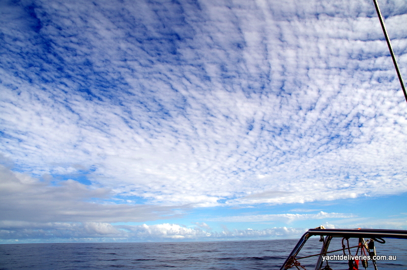
Mackerel sky and mare’s tails make tall ships carry low sails
“This weather proverb originates from a nautical background when different cloud types were used to determine whether sails needed to be lowered. Also referred to as just a ‘mackerel sky’, it is associated with altocumulus clouds while ‘mare’s tails’ refer to cirrus clouds. Both could develop before the instance of a storm which would lead to the lowering of the ships sails. Altocumulus clouds appear when there is a certain level of moisture in the air suggesting rainfall is approaching. The term “mackerel sky” comes from the clouds resemblance to the the scales of the mackerel.” (UK Met Office)
Monday, 4 July 2016, 1030 Hrs
32 10 S, 163 29 E, Around 240 Nm from Lord Howe with 480 Nm to Cape Reinga ahead of us. We have been making good progress with 175 nm or an average of over 7 Kts in the last 24 hrs. Although this average will drop whilst under engine as we are for the next day and a bit, I expect we should be able to pass the cape sometime Thursday and hopefully beat the next front coming through. Thanks Duane for your detailed forecasts, we have been following the wind as suggested with a bit of Northing and a bit of Southing depending on the wind direction and strength to maximise our speed. All is well although the boat looks a bit like a Chinese laundry whilst all our cloths soaked from the dinghy ride are our airing. A couple of mobile phones are drowning in bags of rice hoping for a second life when we arrive in NZ
Sunday, 3 July 2016, 1030 Hrs
32 11 S, 160 23 E, Have made some 90 miles now from Lord Howe. Was quite difficult getting out of the lagoon with the seas still high but after some hours we were back in deep water. More interesting were the dinghy trips out to the boat trying to get on board. No one managed to get on board without being totally drenched. At least we know one of the life jackets self inflates when wet! All well now and settling in to routine as we run for NZ. By the way does anyone know who the Australian Prime minister is? Also Duane no the pic didn’t come through just an empty message, The phones mailbox was full so only rec’d your messages this morning when I deleted old messages. Will update in 24 hrs ish
Saturday, 2 July 2016, 1600 Hrs
Leaving Lord Howe on the evening tide. Earlier than expected but we need to get
ahead of the next low that’s about to form of the NSW Coast. Will update by
Midday our position each day from now.

Having a beer for an old mate!

Bic should have stuck to making Biro’s and Lighters
Thursday, 30 June 2016, 1600 Hrs
Anchored in the North Passage of the Lagoon. Expecting to depart again on
Sunday morning.
1000 Hrs
31 31 S, 159 00 E, Drifting off Lord Howe Island North Passage. Awaiting a
rising tide for entry into the lagoon. Police will be advising us on entry
time into the Northern passage as the Southern one could be susceptible to
swell with the next front coming.

Wednesday, 29 June 2016, 1000 Hrs
31 13 S, 157 02 E, Approx 100 Nm West of Lord Howe Island. Got underway at
around 2300 Hrs last night when the wind and seas had eased off to around
25 Kts. Currently close hauled and making East but having difficulty getting
south. Hopefully will get more south as the wind eases more. Thanks Dinah
and Philippa for your message this morning. We didn’t actually play any cards
but managed some rest whilst waiting.
Tuesday, 28 June 2016, 1200 Hrs
32 14 S, 156 10 E, POSITION UPDATE! To make dead reckoning easier for the
weatherman we are LYING AHULL from this position until the weather improves.
Drifting at around 4kts at 020 Degree M, wind at 30-40Kts from the South. We
were having difficulty making any Eastward progress so in the interest of boat
and crew safety have decided to reach for a pack of cards. Hopefully you can
update us from time to time on the position and direction of the low and or
trough.

0800 Hrs
32 44 S, 155 56 E, Course of 020 M. Wind Southerly at around 30kts.
Currently running downwind at around 8 Kts. Will try to put more east in our
course once over the northern end of the seamounts to our east in an hour’s time.
This will slow us down quite a bit as we have minimal sail up currently. Thanks
for the weather update Duane, unfortunately we will be unable to put much South
in our course probably until the worst of this weather blows through, I think
the best we can hope for until then is to go slow until it passes. All on board
are doing well however. Thanks Kevin for your message. Will update again tomorrow
weather and conditions permitting.
Sunday, 26 June 2016
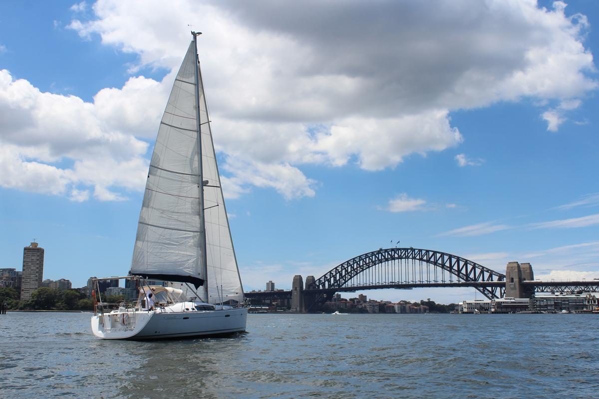
1230 Hrs, Leaving Sydney for Auckland
Notes on Communication: – Please feel free to send SMS messages via your email
direct to the satellite phone on board. Simply click the “free” link shown on
the top of this page or type the address as 881631430767@msg.iridium.com
Its only a maximum of 120 Characters and you need to leave the subject or
message header blank